News Summary
DJI has upgraded its Terra 3D modeling software to include advanced 3D Gaussian Splatting technology, enhancing aerial surveying and modeling accuracy. The software is optimized for DJI drones, making aerial data capture, processing, and modeling more efficient across industries such as construction, agriculture, and public safety. With processing speeds of up to 500 photos per hour, users can create detailed models rapidly, streamlining project timelines. This version supports diverse imaging techniques and offers a user-friendly interface, simplifying complex operations for professionals while ensuring high-quality outputs.
DJI Terra 5.0 Introduces Revolutionary 3D Gaussian Splatting for Aerial Modeling
DJI has launched a significant update to its Terra 3D modeling software with the introduction of 3D Gaussian Splatting, a feature that promises to enhance the speed and quality of aerial surveying and mapping. This upgrade positions DJI Terra as a comprehensive solution for creating precise 2D and 3D models using images captured by DJI drones, ensuring a seamless integrated experience from data collection to final model application.
Enhanced Modeling Speed and Quality
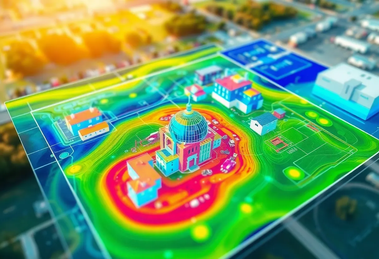
The new 3D Gaussian Splatting technique allows for the rapid generation of realistic 3D models from photographs, significantly improving the survey efficiency. Users can expect modeling processes to be completed in just 30 to 40 minutes for individual blocks, with capabilities of processing around 500 photos per hour. For larger projects involving over 10,000 images, the reconstruction speed is said to be double that of the previous Terra Mesh tool, thereby drastically shortening project timelines.
In addition to rapid processing, the Gaussian Splatting feature enhances the display of fine structures, reflective and transparent surfaces, and vegetation. This improves the overall quality of the generated models, providing detailed and accurate visualizations essential for various industries.
Comprehensive Solution for Diverse Applications
DJI Terra is designed to cater to a wide range of sectors including construction, public safety, agriculture, infrastructure inspection, and cultural heritage preservation. The software allows users to restore various scenes such as cultural relics, architectural projects, urban blocks, and scenic gardens effectively. Furthermore, users can leverage both visible light imagery and data collected by DJI LiDAR systems, streamlining their workflows by reducing complexity and minimizing errors associated with using multiple tools from different providers.
User-Friendly Interface and Advanced Features
The 5.0 update also comes with a redesigned user interface that enhances the overall user experience, including the introduction of reconstruction parameter templates. Users can export their completed models in open formats like PLY and Cesium’s B3DM 3D Tiles, making integration into existing systems straightforward. New features also encompass advanced LiDAR reconstruction and support for multispectral data, providing actionable insights across various applications.
DJI Terra’s processing capabilities are particularly impressive, able to handle 300-400 images per gigabyte of RAM and can manage up to 30,000 images in a single run. This allows for city-wide 3D modeling without requiring high-end computing resources, making the technology accessible for urban and industrial-scale projects.
Licensing and Accessibility
The software update introduces new licensing options: Standard and Flagship. The Flagship version includes features specifically tailored for visible light 3D Gaussian Splatting reconstruction. Existing users upgrading from DJI Terra 4.x to 5.0.0 will receive this update for free, with licenses automatically migrating to the newer version.
Maintaining Leadership in Spatial Data Reconstruction
DJI emphasizes the critical role of the 3D Gaussian Splatting feature in reinforcing its position as a leader in fast and accurate spatial data reconstruction. Enhanced inspection capabilities on drones such as the DJI Matrice 4E, Matrice 400, Zenmuse P1, Zenmuse L2, and D-RTK 3 further underline the versatility and robustness of the DJI Terra platform.
In conclusion, DJI Terra 5.0’s advancements, particularly with the integration of 3D Gaussian Splatting, showcase significant improvements in aerial modeling technologies that promise to aid a variety of industries and applications, ultimately refining the way aerial mapping is conducted.
Deeper Dive: News & Info About This Topic
Additional Resources
- DroneLife: DJI Terra 3D Modeling Software
- Wikipedia: 3D Modeling
- UAS Weekly: DJI Terra v5.0 Boosts 3D Modeling
- Google Search: DJI Terra Gaussian Splatting
- Geo Week News: DJI Terra LiDAR and Photogrammetry Updates
- Encyclopedia Britannica: Drone
- DroneDJ: DJI Product Launch July 17
- Google News: DJI Terra
- Heliguy: DJI Terra Update Gaussian Splatting
Author: Construction NY News
The NEW YORK STAFF WRITER represents the experienced team at constructionnynews.com, your go-to source for actionable local news and information in New York and beyond. Specializing in "news you can use," we cover essential topics like product reviews for personal and business needs, local business directories, politics, real estate trends, neighborhood insights, and state news affecting the area—with deep expertise drawn from years of dedicated reporting and strong community input, including local press releases and business updates. We deliver top reporting on high-value events such as the New York Build Expo, infrastructure breakthroughs, and cutting-edge construction technology showcases. Our coverage extends to key organizations like the Associated General Contractors of New York State and the Building Trades Employers' Association, plus leading businesses in construction and real estate that power the local economy such as Turner Construction Company and CMiC Global. As part of the broader network, including constructioncanews.com, constructiontxnews.com, and constructionflnews.com, we provide comprehensive, credible insights into the dynamic construction landscape across multiple states.